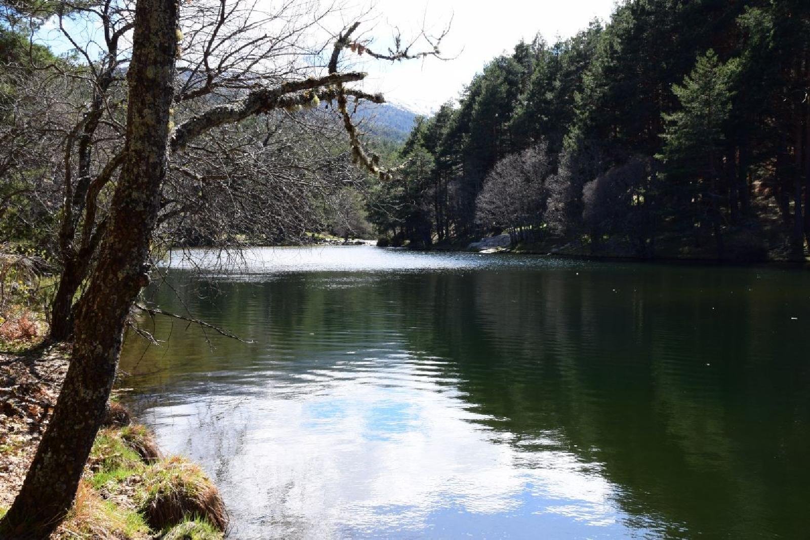
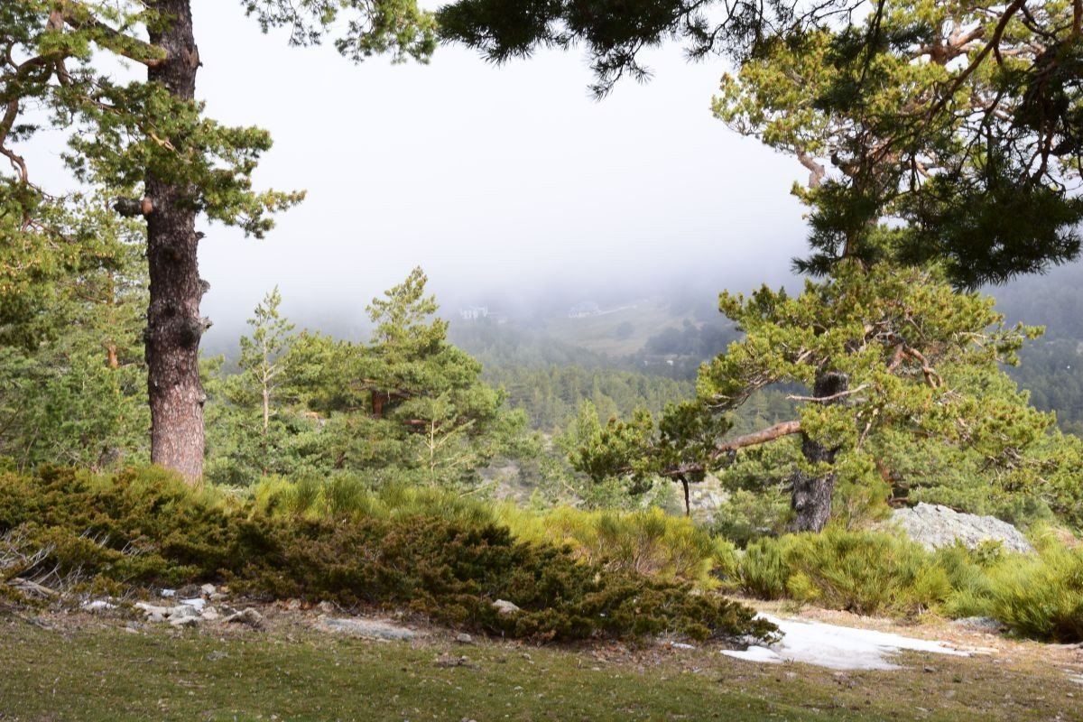
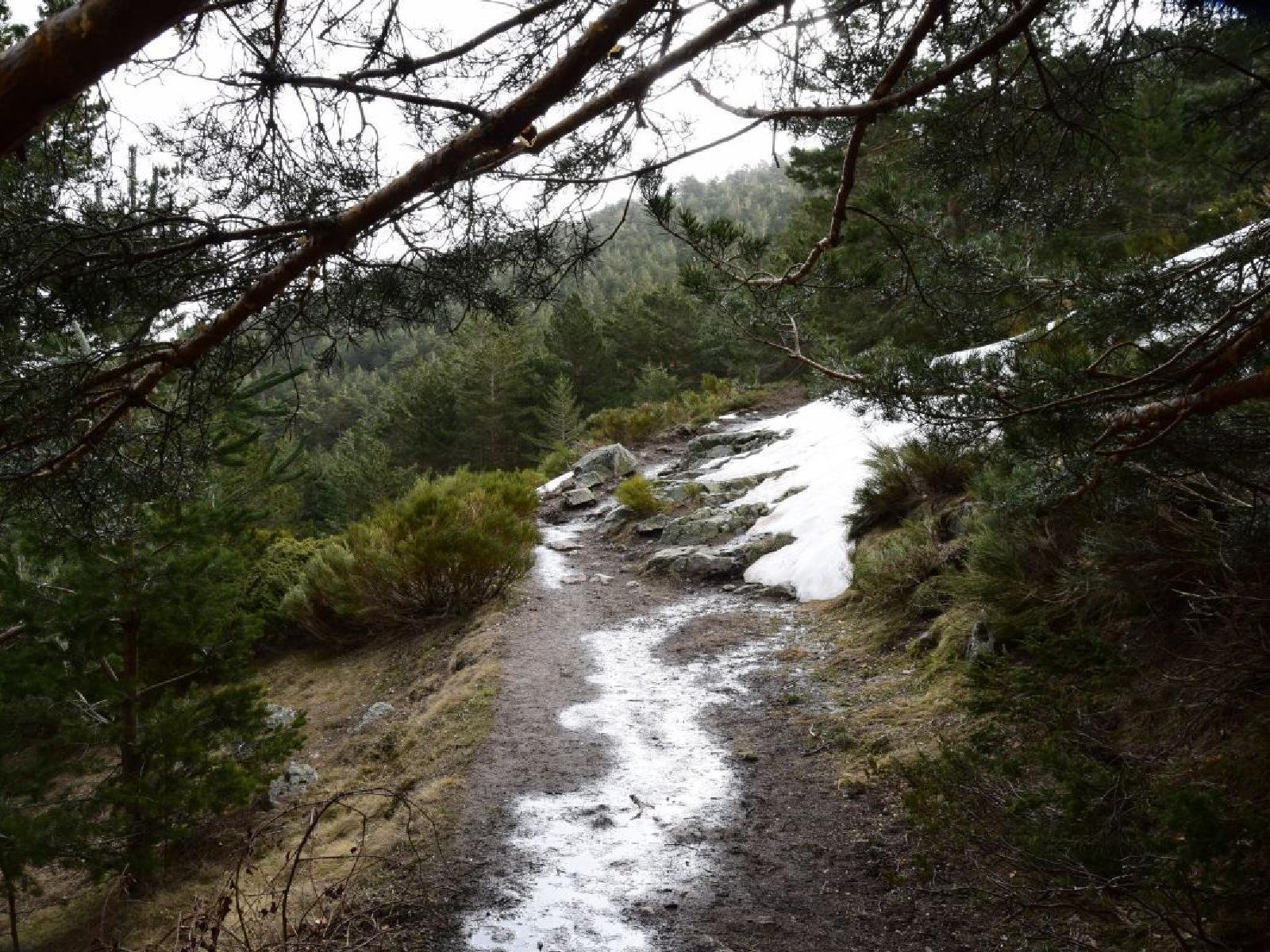
The Camino de la Angostura is one of the official routes of the Peñalara Park, descending from Puerto de Cotos to Rascafría. 🏔️🥾 A fascinating geographical detail is the origin of the river’s name: the Lozoya is called ‘Angostura’ from its source until it reaches the Puente del Perdón. 🏞️ At that point, it joins the Aguilón River (which flows down from La Morcuera), and it is then that it is officially renamed Lozoya. This route follows the right bank of the road, avoiding the crossing of the Laguna de Peñalara stream required by the Umbría route, which is preferable during periods of thaw or heavy rain.
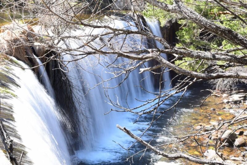
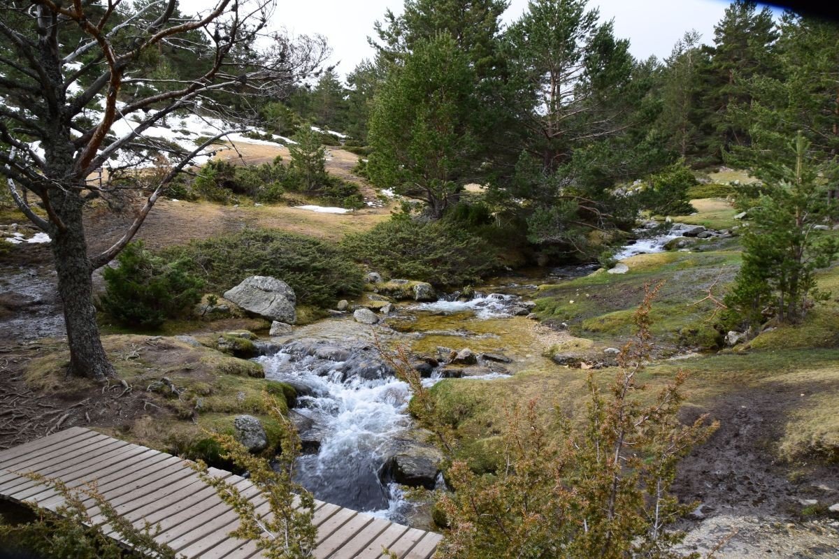
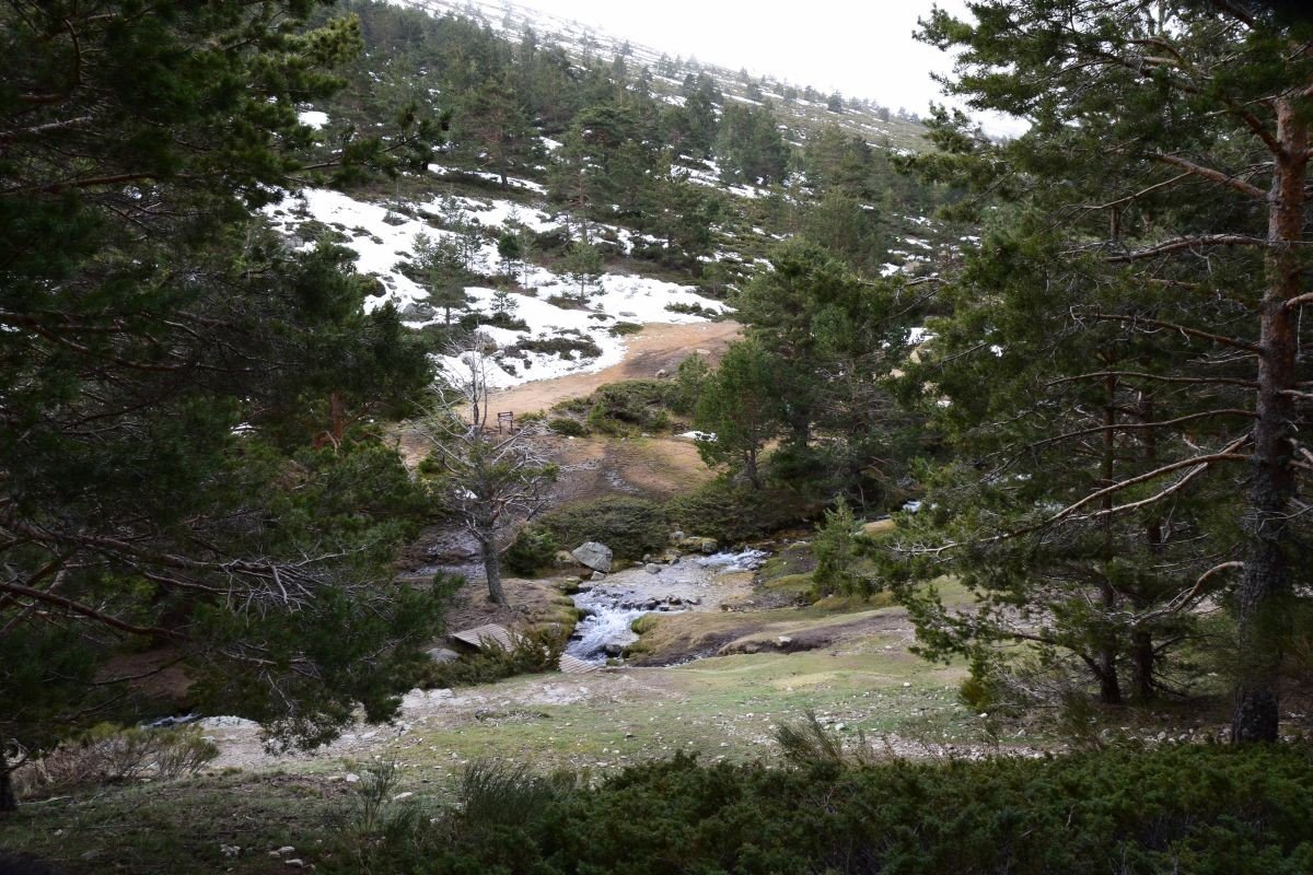
🏠Historically, the surroundings have been key to the utilization of resources. The route crosses landmarks such as the Pingarrón Shelter, the Pradillo Dam —with its iconic waterfall— and the old power plant that still preserves its large pipes.
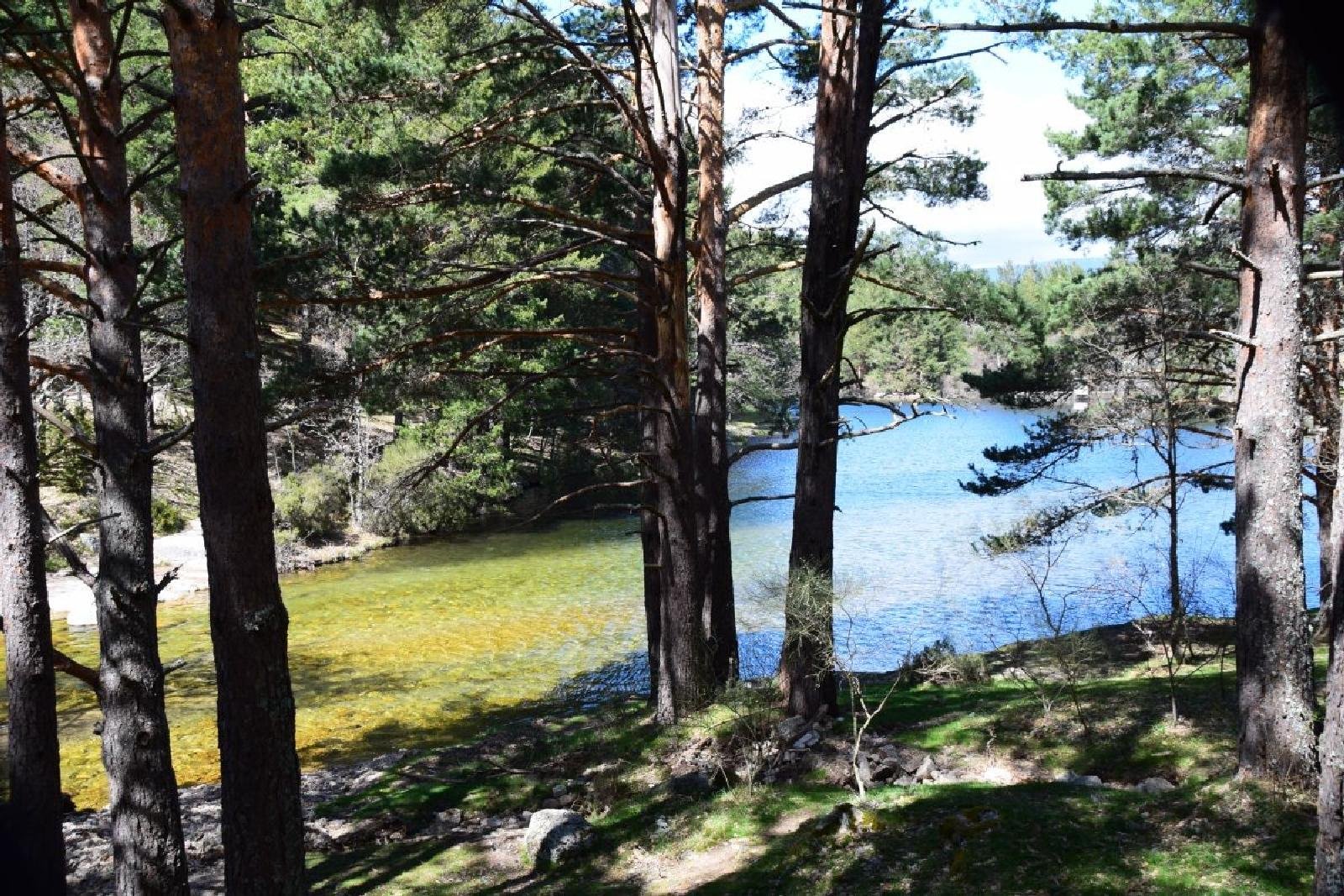
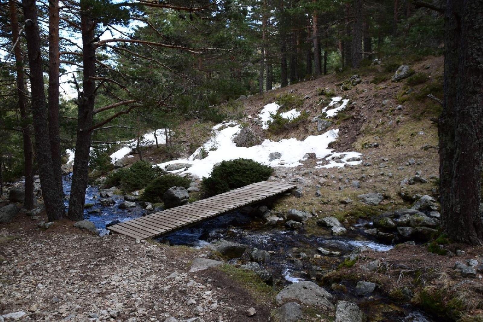
We will start at Puerto de Cotos, hike towards the Pingarrón Shelter, and continue by crossing the Guarramillas stream. After enjoying the views of Valdesquí, we will head towards Rascafría.
Distance: 📏 12 km approx.
Elevation Gain: 📈 +450m
🥾Difficulty: Moderate
🏔️Desnivel negativo: 810 m
🏔️Maximum altitude: 1,844 m
🌿Minimum altitude: 1,133 m
🗺️Type of Route: Lineal
★★ RECOMENDATIONS ★★
1. Bring hiking shoes or comfortable sneakers.
2. Bring at least 1.5 liters of water.
3. Bring lunch (sandwich, fruit, etc.). We’ll do a picnic!
4. Don’t forget sunscreen.
5. Cash for the bus (€3 each way) or free with a youth transport card (under 26).
6. Coat!
7. Desire to have fun
 Stay tuned!
Whatsapp Channel 

Coffee and Beer, Estación de Moncloa, Madrid. (Coffee and Beer)
8:30 am
Join the community and get notified first when the upcoming activities and secret events are coming out!


